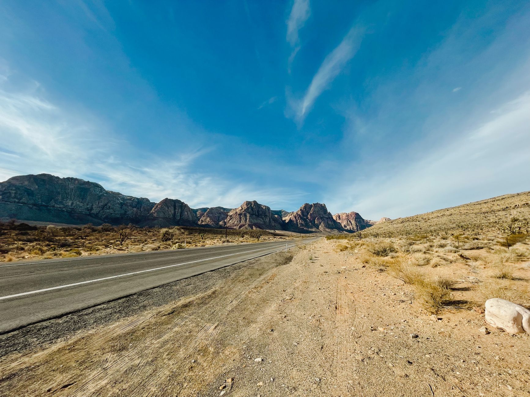
The top three
1) Highway 50 across central Nevada — the Loneliest Road, 287 miles from Fernley to Ely with 5 towns and a lot of sagebrush. Two days minimum, sleep in Austin (Cozy Mountain Motel, $95) or Eureka (Jackson House, $110). 2) Valley of Fire Highway east of Vegas — 40 miles of red sandstone, do it as a day loop, $15 park entry. 3) Extraterrestrial Highway (SR 375) past Area 51 — 98 miles of nothing, one gas station in Rachel, and the Little A’Le’Inn for a burger and a photo.
The runners-up
Great Basin loop from Ely to Baker (US 6 to SR 487) — mountains, aspen, the state's only national park, and the highway peaks near 7,000 feet. Vegas to Laughlin via SR 163 through Christmas Tree Pass — 55 miles, Joshua trees, weird rock formations. Reno to Virginia City on SR 341 — 25 miles, hairpin turns, silver-rush history. Skip: I-80 across the north (functional, not scenic) and I-15 south of Vegas (Mojave landscape but a boring driving experience).
Good to know
Questions, answered
How much gas should I carry?
On Highway 50, top up at every station — Fallon, Austin, Eureka, Ely. Ranges between towns can hit 110 miles. On the ET Highway, fuel in Alamo or Tonopah before entering; the Rachel station is unreliable.
Is cell service reliable?
No. Plan on dead zones for hours on Highway 50, the ET Highway, and most of eastern Nevada. Download offline maps. AT&T covers I-15 and I-80 reliably; interior highways are patchy.
Doing good is the business: every booking through Stay Nevada funds one verified tonne of carbon removal — same room, same price, no markup.
Search stays